Sea View Place
Introduction
The photograph on this page of Sea View Place by Ian Capper as part of the Geograph project.
The Geograph project started in 2005 with the aim of publishing, organising and preserving representative images for every square kilometre of Great Britain, Ireland and the Isle of Man.

There are currently over 7.5m images from over 14,400 individuals and you can help contribute to the project by visiting https://www.geograph.org.uk
Sea View Place
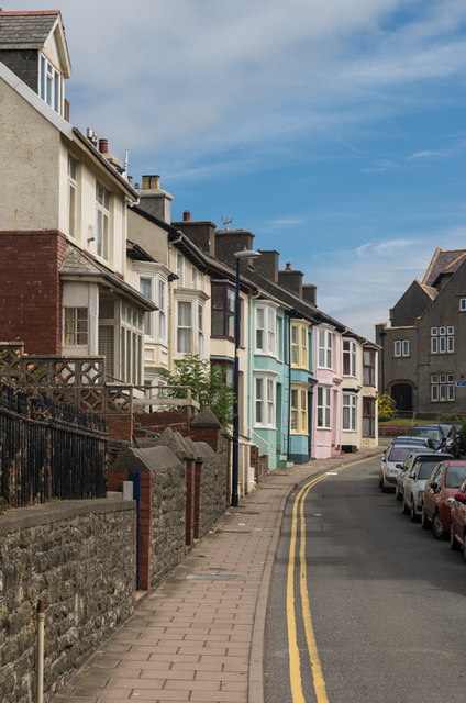
Image: © Ian Capper Taken: 10 Jul 2014
In the background is Castle Theatre (see Image). Old maps suggest that when built in the mid 19th century, the original houses (all but the nearest one in this photo) would have had a sea view - subsequent development would suggest that this is no longer the case.
Images are licensed for reuse under creativecommons.org/licenses/by-sa/2.0
Image Location
Latitude
52.412743
Longitude
-4.088817