Footpath through maize plantation
Introduction
The photograph on this page of Footpath through maize plantation by William Starkey as part of the Geograph project.
The Geograph project started in 2005 with the aim of publishing, organising and preserving representative images for every square kilometre of Great Britain, Ireland and the Isle of Man.

There are currently over 7.5m images from over 14,400 individuals and you can help contribute to the project by visiting https://www.geograph.org.uk
Footpath through maize plantation
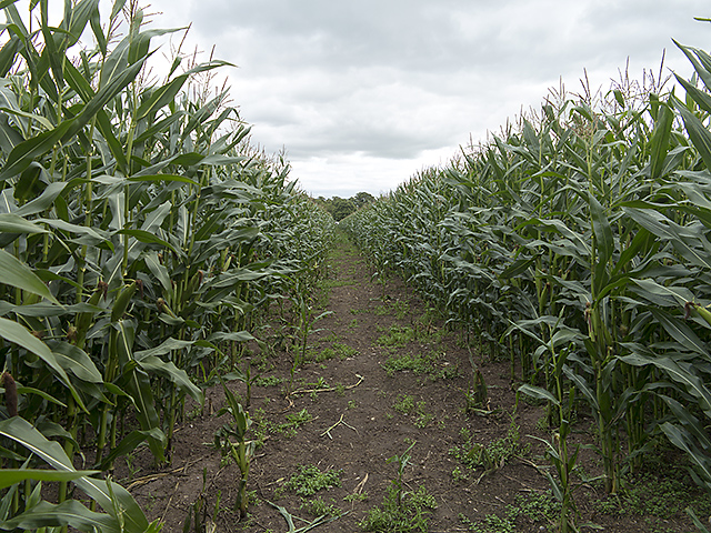
Image: © William Starkey Taken: 16 Aug 2014
The South Cheshire Way footpath near Wrenbury, crossing a maize plantation en route to Marbury.
Images are licensed for reuse under creativecommons.org/licenses/by-sa/2.0
Image Location
Latitude
53.019424
Longitude
-2.597587