River Nene: navigation channel from the foot of Doddington Lock
Introduction
The photograph on this page of River Nene: navigation channel from the foot of Doddington Lock by Christopher Hilton as part of the Geograph project.
The Geograph project started in 2005 with the aim of publishing, organising and preserving representative images for every square kilometre of Great Britain, Ireland and the Isle of Man.

There are currently over 7.5m images from over 14,400 individuals and you can help contribute to the project by visiting https://www.geograph.org.uk
River Nene: navigation channel from the foot of Doddington Lock
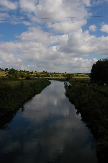
Image: © Christopher Hilton Taken: 15 Aug 2014
Beyond the boats, in the middle distance, the main channel of the river rejoins from the right having passed through Hardwater Mill.
Images are licensed for reuse under creativecommons.org/licenses/by-sa/2.0
Image Location
Latitude
52.265292
Longitude
-0.71663