Cutler's Brook
Introduction
The photograph on this page of Cutler's Brook by Simon Carey as part of the Geograph project.
The Geograph project started in 2005 with the aim of publishing, organising and preserving representative images for every square kilometre of Great Britain, Ireland and the Isle of Man.

There are currently over 7.5m images from over 14,400 individuals and you can help contribute to the project by visiting https://www.geograph.org.uk
Cutler's Brook
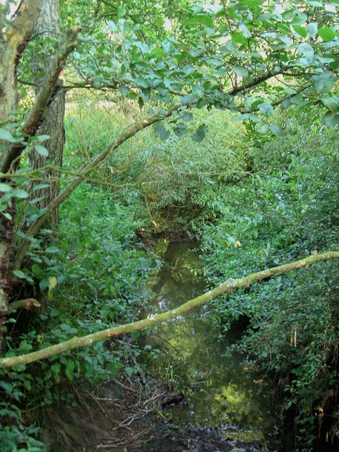
Image: © Simon Carey Taken: 21 Aug 2014
A tributary of the Adur that rises near Clayton viewed from the footpath that links Morley Farm to Woodhouse.
Images are licensed for reuse under creativecommons.org/licenses/by-sa/2.0
Image Location
Latitude
50.942853
Longitude
-0.245497