The eastbound route of the old GWR line, now a cycle path
Introduction
The photograph on this page of The eastbound route of the old GWR line, now a cycle path by Roger A Smith as part of the Geograph project.
The Geograph project started in 2005 with the aim of publishing, organising and preserving representative images for every square kilometre of Great Britain, Ireland and the Isle of Man.

There are currently over 7.5m images from over 14,400 individuals and you can help contribute to the project by visiting https://www.geograph.org.uk
The eastbound route of the old GWR line, now a cycle path
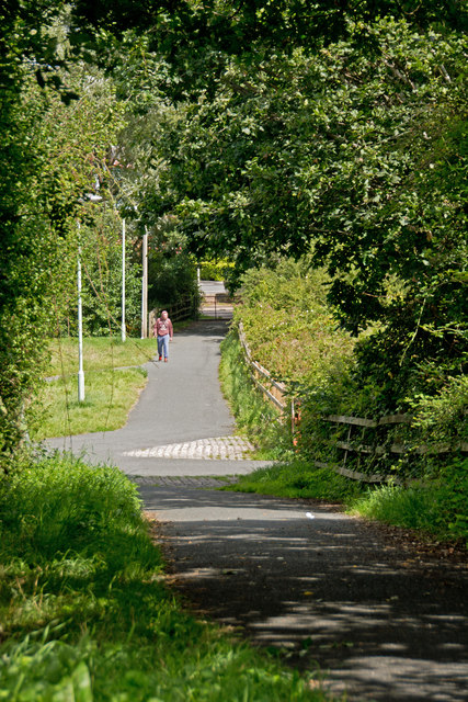
Image: © Roger A Smith Taken: 18 Aug 2014
This route left Barnstaple along what is now the A361.
Images are licensed for reuse under creativecommons.org/licenses/by-sa/2.0
Image Location


Leaflet Map data © OpenStreetMap
Latitude
51.073001
Longitude
-4.040819