Chimneys, Prince of Wales Mine
Introduction
The photograph on this page of Chimneys, Prince of Wales Mine by Derek Harper as part of the Geograph project.
The Geograph project started in 2005 with the aim of publishing, organising and preserving representative images for every square kilometre of Great Britain, Ireland and the Isle of Man.

There are currently over 7.5m images from over 14,400 individuals and you can help contribute to the project by visiting https://www.geograph.org.uk
Chimneys, Prince of Wales Mine
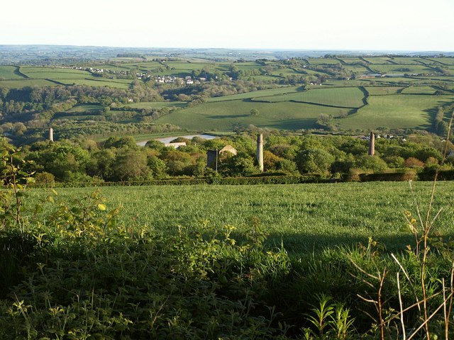
Image: © Derek Harper Taken: 14 May 2014
From the A390 opposite the lay-by from which Image] was taken. The copper mine operated between 1865 and 1914. In the distance is St Dominick.
Images are licensed for reuse under creativecommons.org/licenses/by-sa/2.0
Image Location
Latitude
50.513467
Longitude
-4.257086