Junction, Kelly Bray
Introduction
The photograph on this page of Junction, Kelly Bray by Derek Harper as part of the Geograph project.
The Geograph project started in 2005 with the aim of publishing, organising and preserving representative images for every square kilometre of Great Britain, Ireland and the Isle of Man.

There are currently over 7.5m images from over 14,400 individuals and you can help contribute to the project by visiting https://www.geograph.org.uk
Junction, Kelly Bray
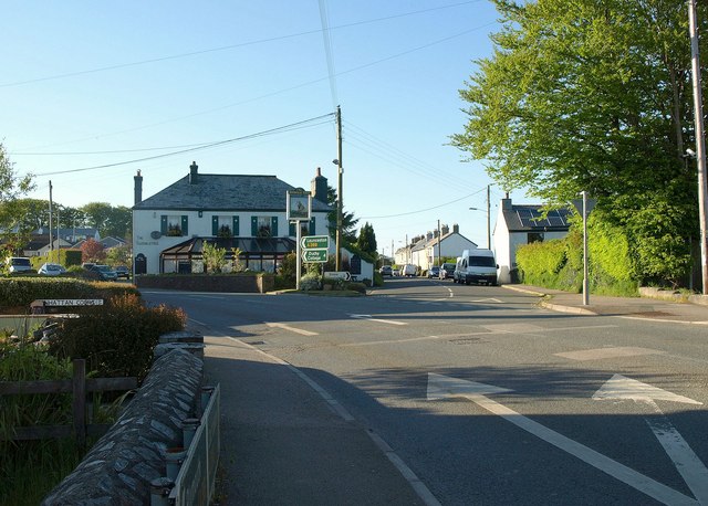
Image: © Derek Harper Taken: 14 May 2014
The A388 forks left here on its way out of the village. Ahead is Stoke Road, to Stoke Climsland. In the angel between them is The Swingle Tree pub, also shown in Image
Images are licensed for reuse under creativecommons.org/licenses/by-sa/2.0
Image Location
Latitude
50.520579
Longitude
-4.316256