Public footpath through a field, Filands, Malmesbury
Introduction
The photograph on this page of Public footpath through a field, Filands, Malmesbury by Jaggery as part of the Geograph project.
The Geograph project started in 2005 with the aim of publishing, organising and preserving representative images for every square kilometre of Great Britain, Ireland and the Isle of Man.

There are currently over 7.5m images from over 14,400 individuals and you can help contribute to the project by visiting https://www.geograph.org.uk
Public footpath through a field, Filands, Malmesbury
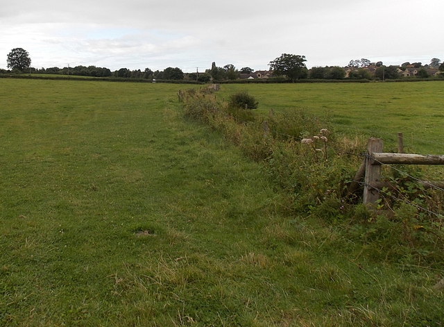
Image: © Jaggery Taken: 17 Aug 2014
The public footpath is a barely discernible track from the west side of the B4014, past vegetation growing on the bank of a small unnamed stream.
Images are licensed for reuse under creativecommons.org/licenses/by-sa/2.0
Image Location
Latitude
51.595041
Longitude
-2.091622