Presbyterian Church and former school
Introduction
The photograph on this page of Presbyterian Church and former school by Kenneth Allen as part of the Geograph project.
The Geograph project started in 2005 with the aim of publishing, organising and preserving representative images for every square kilometre of Great Britain, Ireland and the Isle of Man.

There are currently over 7.5m images from over 14,400 individuals and you can help contribute to the project by visiting https://www.geograph.org.uk
Presbyterian Church and former school
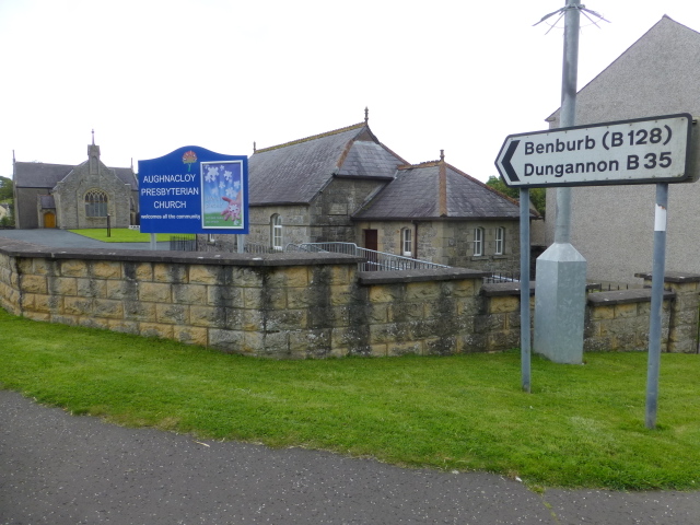
Image: © Kenneth Allen Taken: 20 Aug 2014
Pictured along the junction of Caledon Road and Armagh Road, Aughnacloy
Images are licensed for reuse under creativecommons.org/licenses/by-sa/2.0
Image Location
Latitude
54.41312
Longitude
-6.973577