Souterrain entrance
Introduction
The photograph on this page of Souterrain entrance by M J Richardson as part of the Geograph project.
The Geograph project started in 2005 with the aim of publishing, organising and preserving representative images for every square kilometre of Great Britain, Ireland and the Isle of Man.

There are currently over 7.5m images from over 14,400 individuals and you can help contribute to the project by visiting https://www.geograph.org.uk
Souterrain entrance
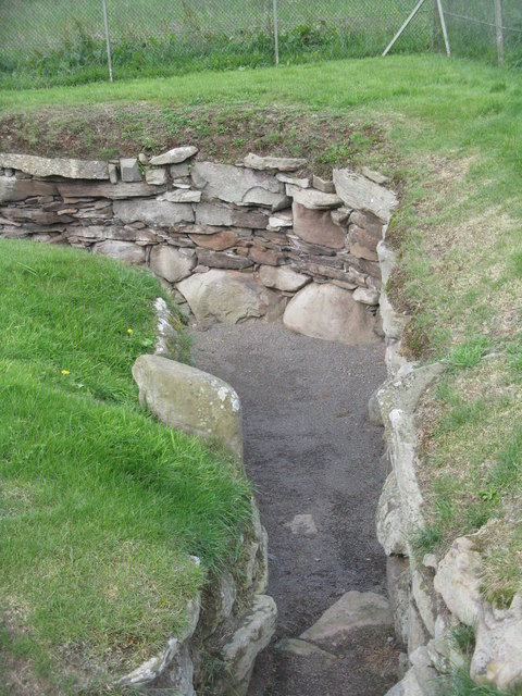
Image: © M J Richardson Taken: 18 Aug 2014
With two vertical slabs that might have been 'gate posts'?
Images are licensed for reuse under creativecommons.org/licenses/by-sa/2.0
Image Location
Latitude
56.531856
Longitude
-2.957232