Shilbottle Community Hall
Introduction
The photograph on this page of Shilbottle Community Hall by Graham Robson as part of the Geograph project.
The Geograph project started in 2005 with the aim of publishing, organising and preserving representative images for every square kilometre of Great Britain, Ireland and the Isle of Man.

There are currently over 7.5m images from over 14,400 individuals and you can help contribute to the project by visiting https://www.geograph.org.uk
Shilbottle Community Hall
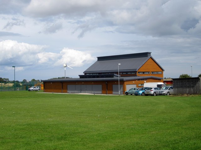
Image: © Graham Robson Taken: 9 Aug 2014
Shilbottle Community Hall opened on this site in 2010. It replaced the Shilbottle Miner's Welfare Hall which was destroyed by fire in 2008. A link to the Community Halls website is here: http://shilbottlecommunityhall.co.uk
Images are licensed for reuse under creativecommons.org/licenses/by-sa/2.0
Image Location
Latitude
55.369534
Longitude
-1.680002