Maders
Introduction
The photograph on this page of Maders by Derek Harper as part of the Geograph project.
The Geograph project started in 2005 with the aim of publishing, organising and preserving representative images for every square kilometre of Great Britain, Ireland and the Isle of Man.

There are currently over 7.5m images from over 14,400 individuals and you can help contribute to the project by visiting https://www.geograph.org.uk
Maders
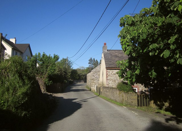
Image: © Derek Harper Taken: 14 May 2014
A hamlet on quite a busy road between Callington / Kelly Bray, and Golberdon / South Hill. On the right is the listed Maders Cottage http://list.english-heritage.org.uk/resultsingle.aspx?uid=1140782&searchtype=mapsearch .
Images are licensed for reuse under creativecommons.org/licenses/by-sa/2.0
Image Location
Latitude
50.519651
Longitude
-4.33568