Grand Union Canal
Introduction
The photograph on this page of Grand Union Canal by Robin Webster as part of the Geograph project.
The Geograph project started in 2005 with the aim of publishing, organising and preserving representative images for every square kilometre of Great Britain, Ireland and the Isle of Man.

There are currently over 7.5m images from over 14,400 individuals and you can help contribute to the project by visiting https://www.geograph.org.uk
Grand Union Canal
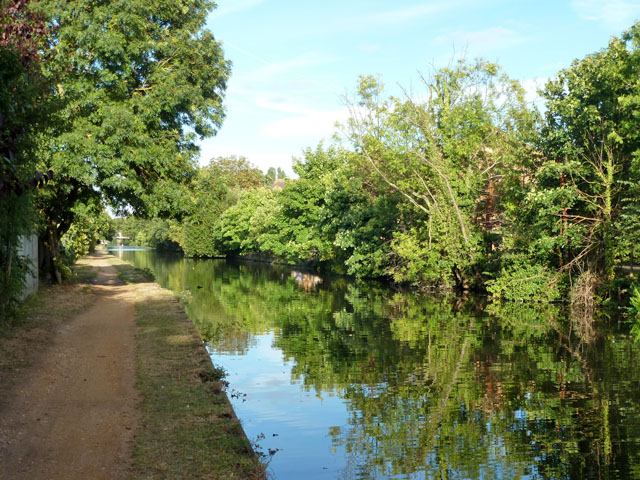
Image: © Robin Webster Taken: 16 Sep 2012
An apparently rural stretch between bridges 202 and 203. However, the curious coloured patch in the water is the reflection of houses and cars seen through the trees.
Images are licensed for reuse under creativecommons.org/licenses/by-sa/2.0
Image Location
Latitude
51.495522
Longitude
-0.381098