Louisa Cottages and the eastern end of Park Road
Introduction
The photograph on this page of Louisa Cottages and the eastern end of Park Road by Rob Farrow as part of the Geograph project.
The Geograph project started in 2005 with the aim of publishing, organising and preserving representative images for every square kilometre of Great Britain, Ireland and the Isle of Man.

There are currently over 7.5m images from over 14,400 individuals and you can help contribute to the project by visiting https://www.geograph.org.uk
Louisa Cottages and the eastern end of Park Road
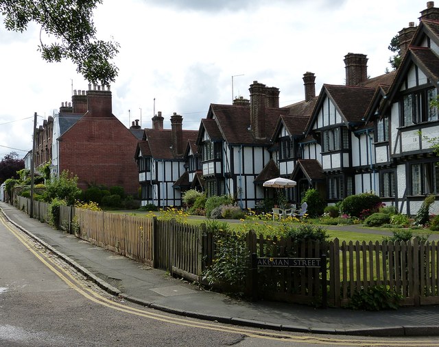
Image: © Rob Farrow Taken: 9 Aug 2014
The Louisa Cottages have been photographed several times for Geograph already (see Image] for example). They were built as almshouses in two phases, in 1893 and 1901 as dates on their oriel windows attest. This view is from the western end of Park Street as it meets Akeman street (off to the right) and continues ahead as Park Road. The row of houses beyond the Louisa Cottages all have quite unusual Dutch Gables.
Images are licensed for reuse under creativecommons.org/licenses/by-sa/2.0
Image Location
Latitude
51.79058
Longitude
-0.662289