Field near Trevigro
Introduction
The photograph on this page of Field near Trevigro by Derek Harper as part of the Geograph project.
The Geograph project started in 2005 with the aim of publishing, organising and preserving representative images for every square kilometre of Great Britain, Ireland and the Isle of Man.

There are currently over 7.5m images from over 14,400 individuals and you can help contribute to the project by visiting https://www.geograph.org.uk
Field near Trevigro
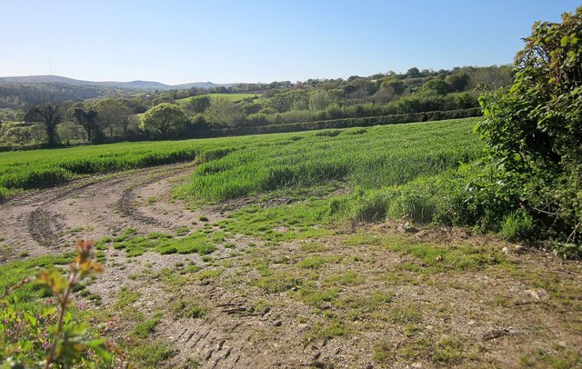
Image: © Derek Harper Taken: 14 May 2014
A track curves into a field of cereals by the lane from Caddapit. Hills on the eastern side of Bodmin Moor, including Caradon Hill on the left, are across the Lynher valley. Image] looks to the left.
Images are licensed for reuse under creativecommons.org/licenses/by-sa/2.0
Image Location
Latitude
50.501745
Longitude
-4.34495