Llangynwyd railway station (site), Bridgend
Introduction
The photograph on this page of Llangynwyd railway station (site), Bridgend by Nigel Thompson as part of the Geograph project.
The Geograph project started in 2005 with the aim of publishing, organising and preserving representative images for every square kilometre of Great Britain, Ireland and the Isle of Man.

There are currently over 7.5m images from over 14,400 individuals and you can help contribute to the project by visiting https://www.geograph.org.uk
Llangynwyd railway station (site), Bridgend
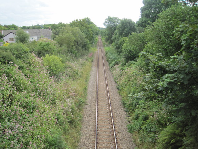
Image: © Nigel Thompson Taken: 16 Aug 2014
View south east of the former station, which closed in 1970. A 1918 map shows a small building to the left and a siding, both long-since gone.
Images are licensed for reuse under creativecommons.org/licenses/by-sa/2.0
Image Location
Latitude
51.587981
Longitude
-3.630029