Vicarage Terrace houses, Cwmparc
Introduction
The photograph on this page of Vicarage Terrace houses, Cwmparc by Jaggery as part of the Geograph project.
The Geograph project started in 2005 with the aim of publishing, organising and preserving representative images for every square kilometre of Great Britain, Ireland and the Isle of Man.

There are currently over 7.5m images from over 14,400 individuals and you can help contribute to the project by visiting https://www.geograph.org.uk
Vicarage Terrace houses, Cwmparc
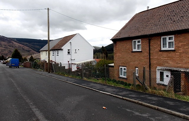
Image: © Jaggery Taken: 4 Apr 2014
These houses on the south side of Vicarage Terrace look several decades newer than the row of houses http://www.geograph.org.uk/photo/4121455 on the north side.
Images are licensed for reuse under creativecommons.org/licenses/by-sa/2.0
Image Location
Latitude
51.653738
Longitude
-3.520931