Pavilions, Berrylands Recreation Ground, Sayers Common
Introduction
The photograph on this page of Pavilions, Berrylands Recreation Ground, Sayers Common by Simon Carey as part of the Geograph project.
The Geograph project started in 2005 with the aim of publishing, organising and preserving representative images for every square kilometre of Great Britain, Ireland and the Isle of Man.

There are currently over 7.5m images from over 14,400 individuals and you can help contribute to the project by visiting https://www.geograph.org.uk
Pavilions, Berrylands Recreation Ground, Sayers Common
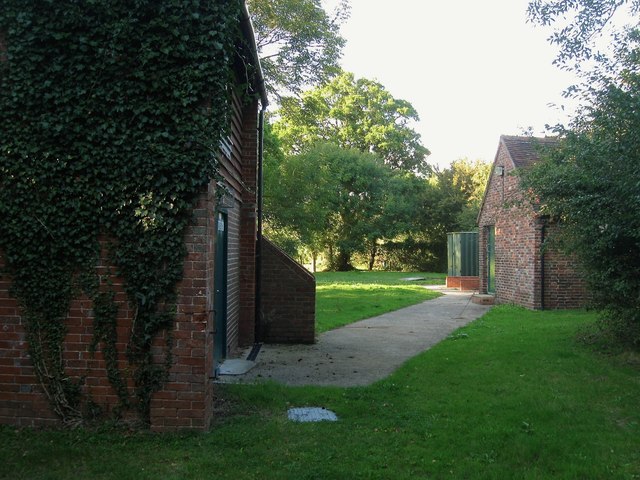
Image: © Simon Carey Taken: 17 Aug 2014
Serving Image which lies just beyond the trees. The main sports pavilion is the one on the right and both buildings are located on the former site of Berrylands Farm which was redeveloped in the 1990s after the realignment of the A23 bypassed the village.
Images are licensed for reuse under creativecommons.org/licenses/by-sa/2.0
Image Location
Latitude
50.950249
Longitude
-0.193823