Northop Hall Village
Introduction
The photograph on this page of Northop Hall Village by Tim Stuart as part of the Geograph project.
The Geograph project started in 2005 with the aim of publishing, organising and preserving representative images for every square kilometre of Great Britain, Ireland and the Isle of Man.

There are currently over 7.5m images from over 14,400 individuals and you can help contribute to the project by visiting https://www.geograph.org.uk
Northop Hall Village
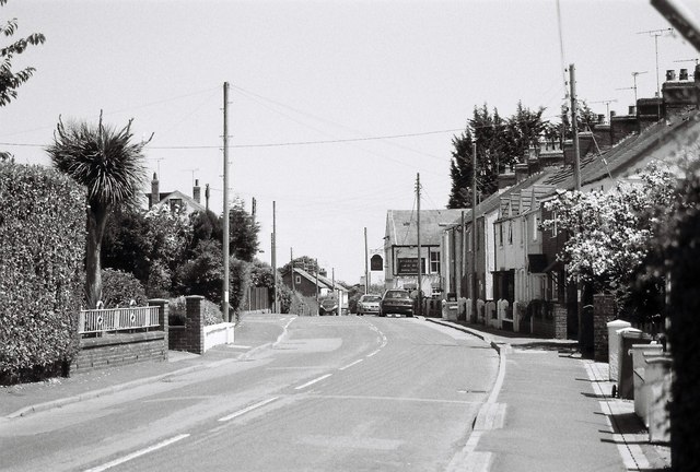
Image: © Tim Stuart Taken: 1 Jul 2014
The centre of Northop Hall village showing Village Road with the only remaining pub the 'Boars Head', universally known as the 'Top Monkey'.
Images are licensed for reuse under creativecommons.org/licenses/by-sa/2.0
Image Location
Latitude
53.199476
Longitude
-3.101732