Twineham Recreation Ground
Introduction
The photograph on this page of Twineham Recreation Ground by Simon Carey as part of the Geograph project.
The Geograph project started in 2005 with the aim of publishing, organising and preserving representative images for every square kilometre of Great Britain, Ireland and the Isle of Man.

There are currently over 7.5m images from over 14,400 individuals and you can help contribute to the project by visiting https://www.geograph.org.uk
Twineham Recreation Ground
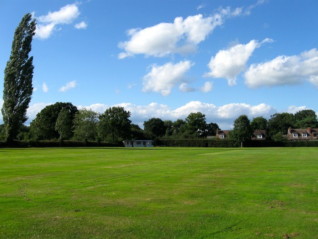
Image: © Simon Carey Taken: 17 Aug 2014
Located to the south of Church Lane and west of Twineham Lane and dates from the postwar era. Originally both the playing field and Image in view to the north were part of a field called Ganders Croft, according to Twineham's 1837 tithe map. The ground is home to Twineham & Wineham Cricket Club which has been in existence since 1893.
Images are licensed for reuse under creativecommons.org/licenses/by-sa/2.0
Image Location
Latitude
50.963612
Longitude
-0.214809