Kingston Loop line
Introduction
The photograph on this page of Kingston Loop line by Robin Webster as part of the Geograph project.
The Geograph project started in 2005 with the aim of publishing, organising and preserving representative images for every square kilometre of Great Britain, Ireland and the Isle of Man.

There are currently over 7.5m images from over 14,400 individuals and you can help contribute to the project by visiting https://www.geograph.org.uk
Kingston Loop line
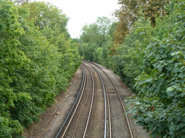
Image: © Robin Webster Taken: 16 Sep 2012
Looking in the up direction, to Waterloo via Wimbledon. This is about the mid-point of the loop service from and to Waterloo operated on this line, the opposite direction going via Richmond.
Images are licensed for reuse under creativecommons.org/licenses/by-sa/2.0
Image Location
Latitude
51.422693
Longitude
-0.330455