Tuag at Fwa Drain / Towards Bwa Drain
Introduction
The photograph on this page of Tuag at Fwa Drain / Towards Bwa Drain by Alan Richards as part of the Geograph project.
The Geograph project started in 2005 with the aim of publishing, organising and preserving representative images for every square kilometre of Great Britain, Ireland and the Isle of Man.

There are currently over 7.5m images from over 14,400 individuals and you can help contribute to the project by visiting https://www.geograph.org.uk
Tuag at Fwa Drain / Towards Bwa Drain
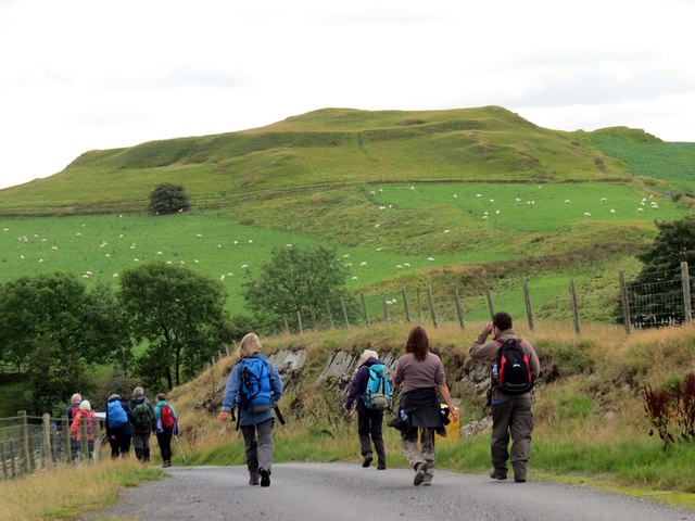
Image: © Alan Richards Taken: 17 Aug 2014
Cerddwyr yn agosau at Ffarm Bwa Drain a enwyd ar ol y fryngaer o'r Oes Efydd yn y pellter. Walkers approaching Bwa Drain Farm named after the Iron Age hillfort visible in the distance.
Images are licensed for reuse under creativecommons.org/licenses/by-sa/2.0
Image Location
Latitude
52.398385
Longitude
-3.890067