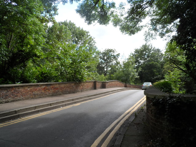
Road over Maiden's Bridge
Introduction
The photograph on this page of Road over Maiden's Bridge by Bikeboy as part of the Geograph project.
The Geograph project started in 2005 with the aim of publishing, organising and preserving representative images for every square kilometre of Great Britain, Ireland and the Isle of Man.
There are currently over 7.5m images from over 14,400 individuals and you can help contribute to the project by visiting https://www.geograph.org.uk

Image: © Bikeboy Taken: 16 Aug 2014
There has been a bridge here since Norman times although this structure dates from around 1800. In a History of Enfield (1823) it is stated that 'this bridge was built of brick, the whole width of the road, about twenty years ago.' http://www.britishlistedbuildings.co.uk/en-493788 See http://www.geograph.org.uk/photo/3020954 for a view from the river. The bridge bears a plaque dating from the early C20 century warning that it is not suitable for heavy carriages etc. (see http://www.geograph.org.uk/photo/4123436 ). This replaced an earlier plaque threatening violators with transportation for life.

