Pond near Caldy Brook
Introduction
The photograph on this page of Pond near Caldy Brook by Jeff Buck as part of the Geograph project.
The Geograph project started in 2005 with the aim of publishing, organising and preserving representative images for every square kilometre of Great Britain, Ireland and the Isle of Man.

There are currently over 7.5m images from over 14,400 individuals and you can help contribute to the project by visiting https://www.geograph.org.uk
Pond near Caldy Brook
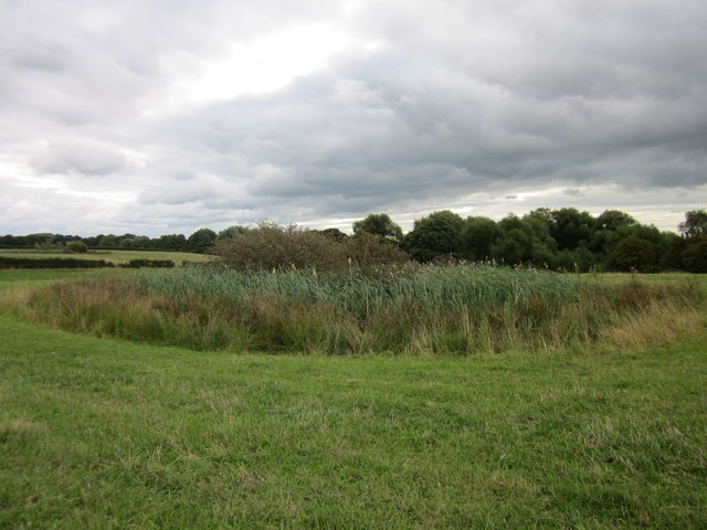
Image: © Jeff Buck Taken: 16 Aug 2014
One of the many ponds in the fields between the old Saighton Military Training Camp and the A55 dual carriageway at Huntington.
Images are licensed for reuse under creativecommons.org/licenses/by-sa/2.0
Image Location
Latitude
53.176695
Longitude
-2.854572