Footpath to Christleton
Introduction
The photograph on this page of Footpath to Christleton by Jeff Buck as part of the Geograph project.
The Geograph project started in 2005 with the aim of publishing, organising and preserving representative images for every square kilometre of Great Britain, Ireland and the Isle of Man.

There are currently over 7.5m images from over 14,400 individuals and you can help contribute to the project by visiting https://www.geograph.org.uk
Footpath to Christleton
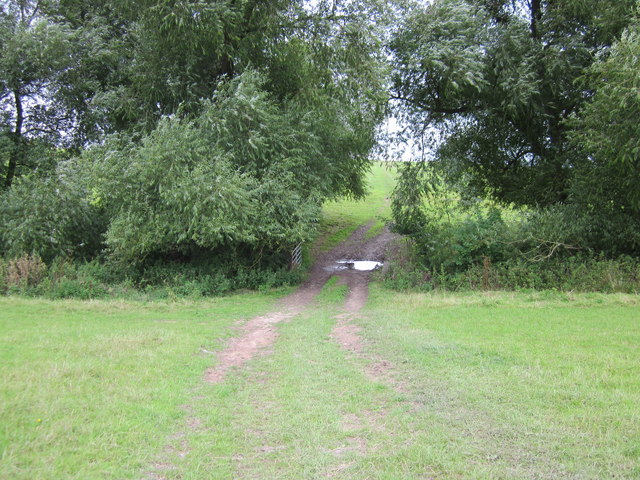
Image: © Jeff Buck Taken: 16 Aug 2014
The footpath deviates from the course shown on the OS map which shows the path to the left of the pond. The new housing estate on the old Saighton Camp may have caused to path to have been diverted.
Images are licensed for reuse under creativecommons.org/licenses/by-sa/2.0
Image Location
Latitude
53.176053
Longitude
-2.856354