Footpath to Huntington
Introduction
The photograph on this page of Footpath to Huntington by Jeff Buck as part of the Geograph project.
The Geograph project started in 2005 with the aim of publishing, organising and preserving representative images for every square kilometre of Great Britain, Ireland and the Isle of Man.

There are currently over 7.5m images from over 14,400 individuals and you can help contribute to the project by visiting https://www.geograph.org.uk
Footpath to Huntington
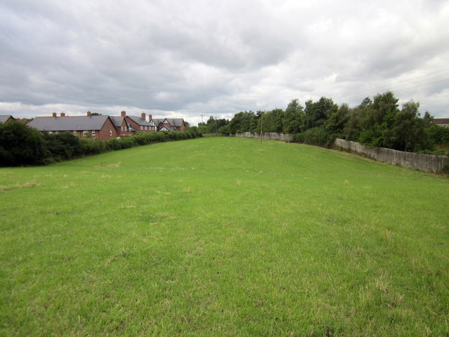
Image: © Jeff Buck Taken: 16 Aug 2014
Heading south towards Huntington. The new housing estate on the left is on the site of the former Saighton Military Training Ground.
Images are licensed for reuse under creativecommons.org/licenses/by-sa/2.0
Image Location
Latitude
53.174505
Longitude
-2.859166