Field of Potatoes near Doe Lea
Introduction
The photograph on this page of Field of Potatoes near Doe Lea by Jonathan Clitheroe as part of the Geograph project.
The Geograph project started in 2005 with the aim of publishing, organising and preserving representative images for every square kilometre of Great Britain, Ireland and the Isle of Man.

There are currently over 7.5m images from over 14,400 individuals and you can help contribute to the project by visiting https://www.geograph.org.uk
Field of Potatoes near Doe Lea
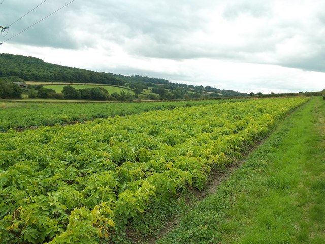
Image: © Jonathan Clitheroe Taken: 16 Aug 2014
Overlooking the Doe Lea valley from a grassy footpath which skirts this cheerfully ripening crop field. Stainsby Park is on the opposite side of the valley.
Images are licensed for reuse under creativecommons.org/licenses/by-sa/2.0
Image Location
Latitude
53.190949
Longitude
-1.320327