Drainage Ditch
Introduction
The photograph on this page of Drainage Ditch by Stanley Howe as part of the Geograph project.
The Geograph project started in 2005 with the aim of publishing, organising and preserving representative images for every square kilometre of Great Britain, Ireland and the Isle of Man.

There are currently over 7.5m images from over 14,400 individuals and you can help contribute to the project by visiting https://www.geograph.org.uk
Drainage Ditch
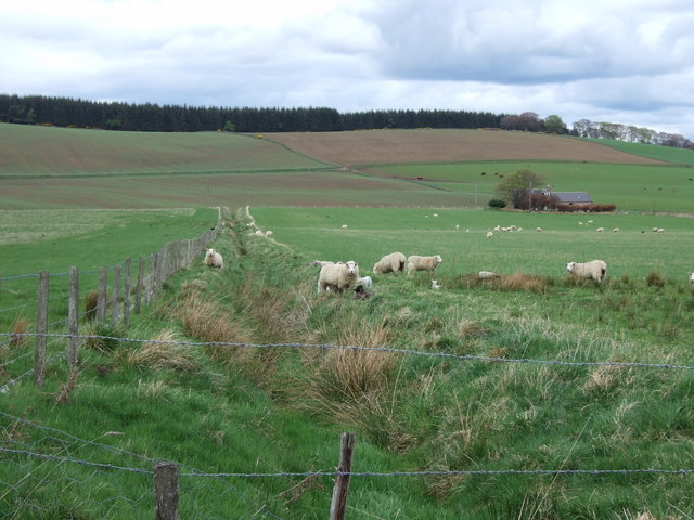
Image: © Stanley Howe Taken: 24 Apr 2007
Being explored by sheep on its way down to the Rumblie Burn. Bervie is to the right.
Images are licensed for reuse under creativecommons.org/licenses/by-sa/2.0
Image Location


Leaflet Map data © OpenStreetMap
Latitude
57.172225
Longitude
-2.761377