Footpath past horticultural growing sheds, Tiptree Farm
Introduction
The photograph on this page of Footpath past horticultural growing sheds, Tiptree Farm by Roger Jones as part of the Geograph project.
The Geograph project started in 2005 with the aim of publishing, organising and preserving representative images for every square kilometre of Great Britain, Ireland and the Isle of Man.

There are currently over 7.5m images from over 14,400 individuals and you can help contribute to the project by visiting https://www.geograph.org.uk
Footpath past horticultural growing sheds, Tiptree Farm
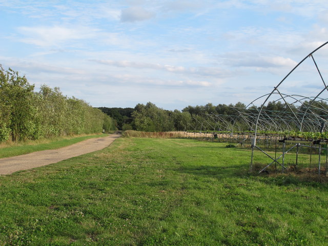
Image: © Roger Jones Taken: 16 Aug 2014
A public footpath through Tiptree Farm. These growing sheds house fruit which will end up in Wilkins & Son "Tiptree" jams and preserves. http://www.tiptree.com/
Images are licensed for reuse under creativecommons.org/licenses/by-sa/2.0
Image Location
Latitude
51.801837
Longitude
0.743273