The Boathouse, Hollow Ponds
Introduction
The photograph on this page of The Boathouse, Hollow Ponds by Brian Gotts as part of the Geograph project.
The Geograph project started in 2005 with the aim of publishing, organising and preserving representative images for every square kilometre of Great Britain, Ireland and the Isle of Man.

There are currently over 7.5m images from over 14,400 individuals and you can help contribute to the project by visiting https://www.geograph.org.uk
The Boathouse, Hollow Ponds
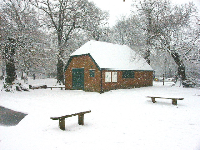
Image: © Brian Gotts Taken: 23 Jan 2003
There has been a boathouse on this site since the 1890's. The original timber frame from the thatched building is enclosed inside the brick surround.
Images are licensed for reuse under creativecommons.org/licenses/by-sa/2.0
Image Location


Leaflet Map data © OpenStreetMap
Latitude
51.578108
Longitude
0.0118