Sussex Border Path on Slugwash Lane
Introduction
The photograph on this page of Sussex Border Path on Slugwash Lane by Peter Holmes as part of the Geograph project.
The Geograph project started in 2005 with the aim of publishing, organising and preserving representative images for every square kilometre of Great Britain, Ireland and the Isle of Man.

There are currently over 7.5m images from over 14,400 individuals and you can help contribute to the project by visiting https://www.geograph.org.uk
Sussex Border Path on Slugwash Lane
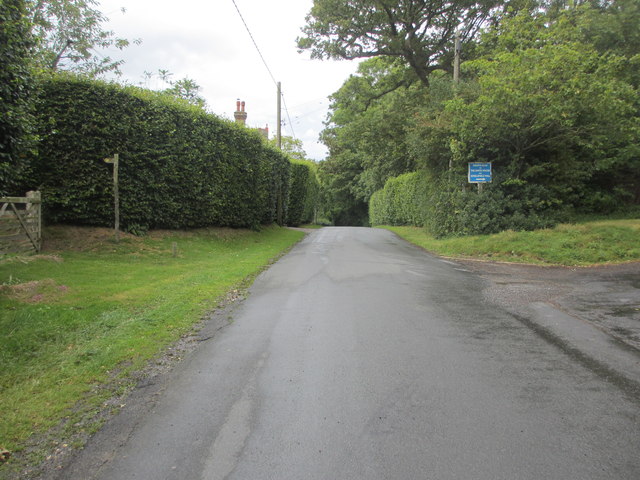
Image: © Peter Holmes Taken: 14 Aug 2014
Public footpaths Wivelsfield 26a & 5 proceed to the east whilst public footpath Wivelsfield 4a proceeds to the west at this crossing.
Images are licensed for reuse under creativecommons.org/licenses/by-sa/2.0
Image Location
Latitude
50.97047
Longitude
-0.080232