Looking across Haven Green
Introduction
The photograph on this page of Looking across Haven Green by Marathon as part of the Geograph project.
The Geograph project started in 2005 with the aim of publishing, organising and preserving representative images for every square kilometre of Great Britain, Ireland and the Isle of Man.

There are currently over 7.5m images from over 14,400 individuals and you can help contribute to the project by visiting https://www.geograph.org.uk
Looking across Haven Green
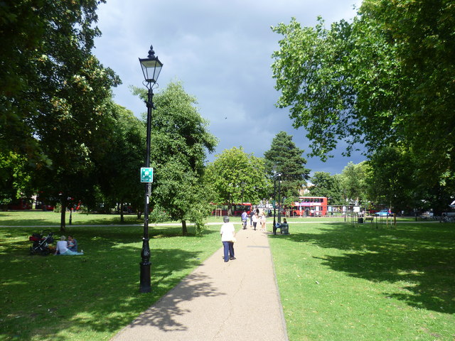
Image: © Marathon Taken: 13 Aug 2014
Haven Green was once known as Ealing's Haven and is seen on maps dating back to 1770. In the early 19th century the area became quite fashionable when the Duke of Kent took up residence nearby. In the 1850s, with improved travel villages began to grow into towns and merged into unbroken residential areas. It was at this time Ealing began to be called the "Queen of the Suburbs", a name that was also applied to Surbiton. This view looks across Haven Green to houses on the north side of the road, also called Haven Green from the south-west corner at Spring Bridge Road.
Images are licensed for reuse under creativecommons.org/licenses/by-sa/2.0
Image Location
Latitude
51.515201
Longitude
-0.303727