Caledonian Road, N7 (2)
Introduction
The photograph on this page of Caledonian Road, N7 (2) by Danny P Robinson as part of the Geograph project.
The Geograph project started in 2005 with the aim of publishing, organising and preserving representative images for every square kilometre of Great Britain, Ireland and the Isle of Man.

There are currently over 7.5m images from over 14,400 individuals and you can help contribute to the project by visiting https://www.geograph.org.uk
Caledonian Road, N7 (2)
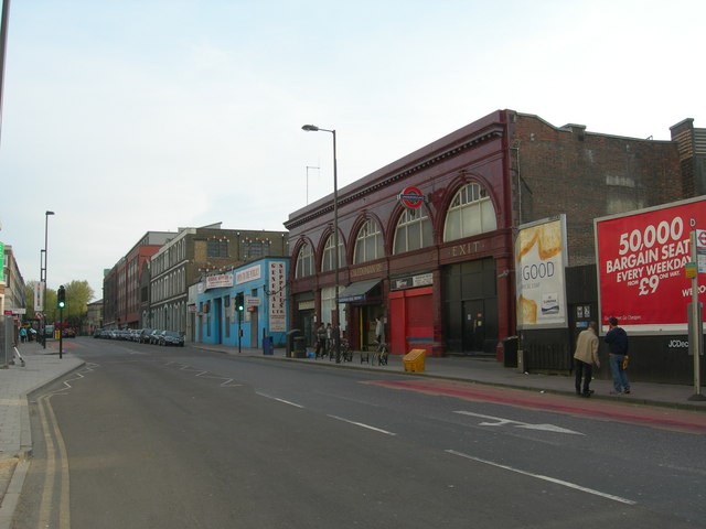
Image: © Danny P Robinson Taken: 21 Apr 2007
The Underground Station is in the foreground - the design is typical of many of its generation (see Image or Image for 2 examples). We are looking south towards Barnsbury. There is a better view of the dwellings on the left in this photo Image
Images are licensed for reuse under creativecommons.org/licenses/by-sa/2.0
Image Location
Latitude
51.547622
Longitude
-0.118199