Disused railway, Aldergrove (August 2014)
Introduction
The photograph on this page of Disused railway, Aldergrove (August 2014) by Albert Bridge as part of the Geograph project.
The Geograph project started in 2005 with the aim of publishing, organising and preserving representative images for every square kilometre of Great Britain, Ireland and the Isle of Man.

There are currently over 7.5m images from over 14,400 individuals and you can help contribute to the project by visiting https://www.geograph.org.uk
Disused railway, Aldergrove (August 2014)
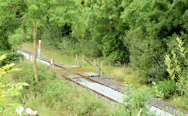
Image: © Albert Bridge Taken: 16 Aug 2014
The “mothballed” Lisburn – Antrim line, looking towards Crumlin station Image, accommodation crossing XA364 Image and milepost 13, from the Ballynadrentagh Road. The track now has new ballast. Image shows the same view in November 2007.
Images are licensed for reuse under creativecommons.org/licenses/by-sa/2.0
Image Location
Latitude
54.643122
Longitude
-6.24114