Railway viaduct, Crumlin (August 2014)
Introduction
The photograph on this page of Railway viaduct, Crumlin (August 2014) by Albert Bridge as part of the Geograph project.
The Geograph project started in 2005 with the aim of publishing, organising and preserving representative images for every square kilometre of Great Britain, Ireland and the Isle of Man.

There are currently over 7.5m images from over 14,400 individuals and you can help contribute to the project by visiting https://www.geograph.org.uk
Railway viaduct, Crumlin (August 2014)
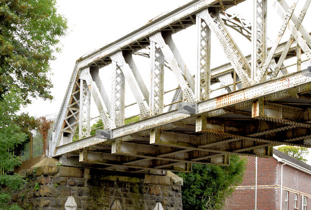
Image: © Albert Bridge Taken: 16 Aug 2014
The western side of the viaduct http://www.geograph.org.uk/search.php?i=50634054, across the Mill Road, looking towards Antrim. I don’t know what’s happened at track level but this street-level view shows that it could do with a lick of paint.
Images are licensed for reuse under creativecommons.org/licenses/by-sa/2.0
Image Location
Latitude
54.623212
Longitude
-6.21289