Path, Hanworth Park
Introduction
The photograph on this page of Path, Hanworth Park by Robin Webster as part of the Geograph project.
The Geograph project started in 2005 with the aim of publishing, organising and preserving representative images for every square kilometre of Great Britain, Ireland and the Isle of Man.

There are currently over 7.5m images from over 14,400 individuals and you can help contribute to the project by visiting https://www.geograph.org.uk
Path, Hanworth Park
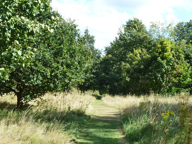
Image: © Robin Webster Taken: 14 Sep 2012
Formerly on the estate of Hanworth Park House, then an airfield (when the Longford River was culverted under it), then public open space.
Images are licensed for reuse under creativecommons.org/licenses/by-sa/2.0
Image Location
Latitude
51.441091
Longitude
-0.398707