Former Anglican church in Blaengarw
Introduction
The photograph on this page of Former Anglican church in Blaengarw by Jaggery as part of the Geograph project.
The Geograph project started in 2005 with the aim of publishing, organising and preserving representative images for every square kilometre of Great Britain, Ireland and the Isle of Man.

There are currently over 7.5m images from over 14,400 individuals and you can help contribute to the project by visiting https://www.geograph.org.uk
Former Anglican church in Blaengarw
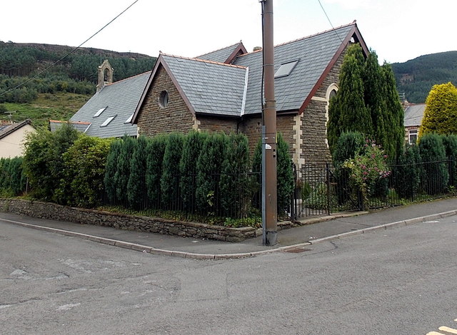
Image: © Jaggery Taken: 15 Aug 2014
Viewed across the corner of Church Street and Church Place. Now in residential use, the building was St James Church, which closed in 2004.
Images are licensed for reuse under creativecommons.org/licenses/by-sa/2.0
Image Location
Latitude
51.623886
Longitude
-3.588698