The southern end of Adders Loanin
Introduction
The photograph on this page of The southern end of Adders Loanin by Eric Jones as part of the Geograph project.
The Geograph project started in 2005 with the aim of publishing, organising and preserving representative images for every square kilometre of Great Britain, Ireland and the Isle of Man.

There are currently over 7.5m images from over 14,400 individuals and you can help contribute to the project by visiting https://www.geograph.org.uk
The southern end of Adders Loanin
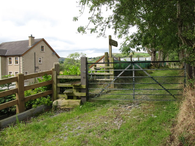
Image: © Eric Jones Taken: 15 Aug 2014
Public footpaths in Northern Ireland are generally as rare as hen's teeth. Yet, in this area on the southern edge of the Slieve Croob range there are a number of excellently maintained green lanes with public rights of way.
Images are licensed for reuse under creativecommons.org/licenses/by-sa/2.0
Image Location
Latitude
54.292466
Longitude
-6.043856