River Crane
Introduction
The photograph on this page of River Crane by Robin Webster as part of the Geograph project.
The Geograph project started in 2005 with the aim of publishing, organising and preserving representative images for every square kilometre of Great Britain, Ireland and the Isle of Man.

There are currently over 7.5m images from over 14,400 individuals and you can help contribute to the project by visiting https://www.geograph.org.uk
River Crane
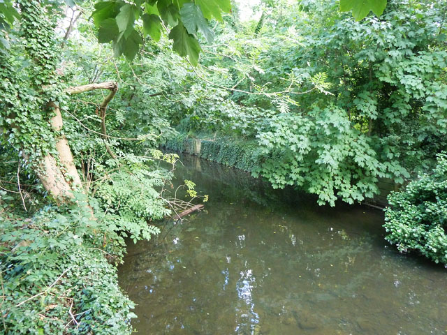
Image: © Robin Webster Taken: 14 Sep 2012
This is an artificial cut, the bypass to the former Fulwell Mills (paper). The far bank is a long island with the natural river course (where the mills were) beyond. Both branches continue to take flow via weirs.
Images are licensed for reuse under creativecommons.org/licenses/by-sa/2.0
Image Location
Latitude
51.442268
Longitude
-0.360247