Plas Morolwg
Introduction
The photograph on this page of Plas Morolwg by Ian Capper as part of the Geograph project.
The Geograph project started in 2005 with the aim of publishing, organising and preserving representative images for every square kilometre of Great Britain, Ireland and the Isle of Man.

There are currently over 7.5m images from over 14,400 individuals and you can help contribute to the project by visiting https://www.geograph.org.uk
Plas Morolwg
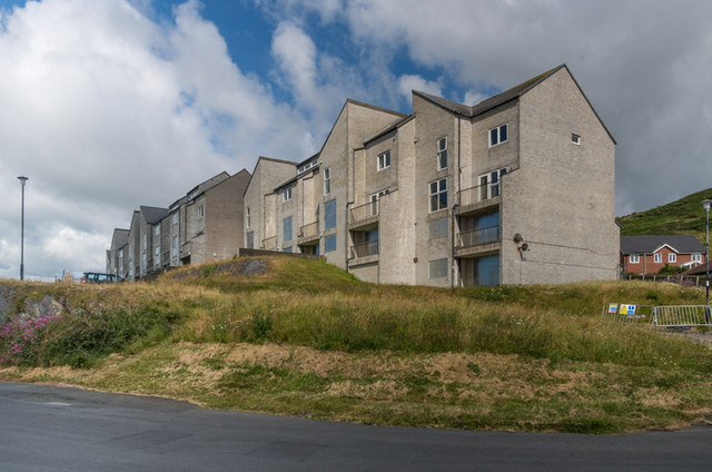
Image: © Ian Capper Taken: 8 Jul 2014
Apartment block overlooking Aberystwyth Harbour. Structural problems exacerbated by damage following the gales that hit Aberystwyth in January 2014 mean that the currently lie empty.
Images are licensed for reuse under creativecommons.org/licenses/by-sa/2.0
Image Location
Latitude
52.407778
Longitude
-4.08742