Mynydd Figyn
Introduction
The photograph on this page of Mynydd Figyn by Alan Richards as part of the Geograph project.
The Geograph project started in 2005 with the aim of publishing, organising and preserving representative images for every square kilometre of Great Britain, Ireland and the Isle of Man.

There are currently over 7.5m images from over 14,400 individuals and you can help contribute to the project by visiting https://www.geograph.org.uk
Mynydd Figyn
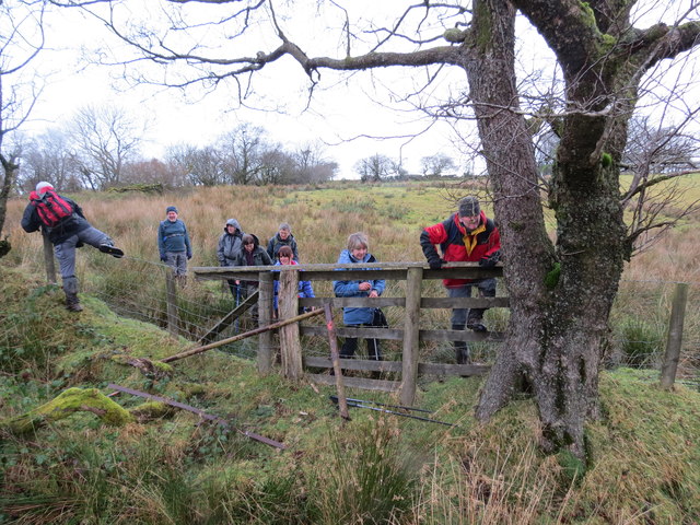
Image: © Alan Richards Taken: 2 Dec 2012
Cerddwyr yn croesi fens ar lwybr cyhoeddus wedi ei esguleuso er cael mynediad i Fynydd Figyn. Walkers crossing a fence on a neglected public footpath to access Mynydd Figyn.
Images are licensed for reuse under creativecommons.org/licenses/by-sa/2.0
Image Location


Leaflet Map data © OpenStreetMap
Latitude
51.958967
Longitude
-4.04065