View to the north of Cambourne
Introduction
The photograph on this page of View to the north of Cambourne by Marathon as part of the Geograph project.
The Geograph project started in 2005 with the aim of publishing, organising and preserving representative images for every square kilometre of Great Britain, Ireland and the Isle of Man.

There are currently over 7.5m images from over 14,400 individuals and you can help contribute to the project by visiting https://www.geograph.org.uk
View to the north of Cambourne
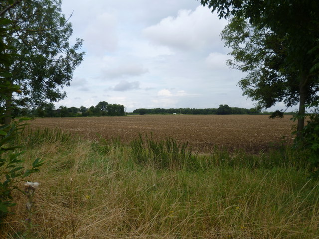
Image: © Marathon Taken: 14 Aug 2014
This is the view from the roundabout next to the dual carriageway of the A428 to the north of Cambourne. Lawn Farm can be seen in the trees.
Images are licensed for reuse under creativecommons.org/licenses/by-sa/2.0
Image Location
Latitude
52.226785
Longitude
-0.073362