Trackbed Cannington Viaduct
Introduction
The photograph on this page of Trackbed Cannington Viaduct by Noel Jenkins as part of the Geograph project.
The Geograph project started in 2005 with the aim of publishing, organising and preserving representative images for every square kilometre of Great Britain, Ireland and the Isle of Man.

There are currently over 7.5m images from over 14,400 individuals and you can help contribute to the project by visiting https://www.geograph.org.uk
Trackbed Cannington Viaduct
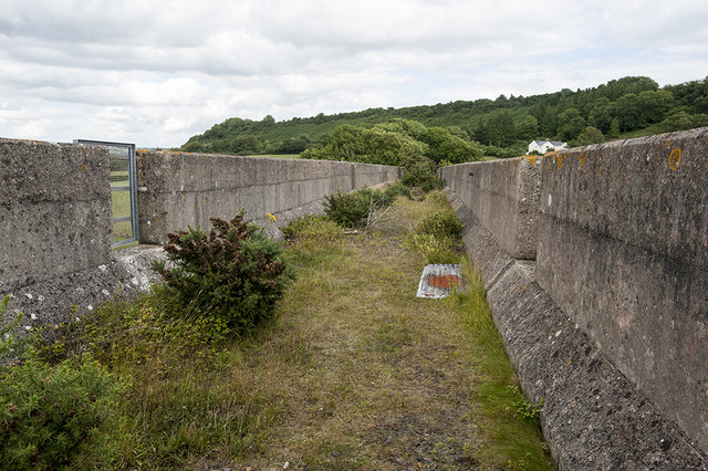
Image: © Noel Jenkins Taken: 17 Jul 2010
Few photographers seem to have bush-wacked their way to the top of the disused viaduct so I took the liberty to investigate myself.
Images are licensed for reuse under creativecommons.org/licenses/by-sa/2.0
Image Location
Latitude
50.727324
Longitude
-2.968899