Dainton Court, Goodrington
Introduction
The photograph on this page of Dainton Court, Goodrington by Derek Harper as part of the Geograph project.
The Geograph project started in 2005 with the aim of publishing, organising and preserving representative images for every square kilometre of Great Britain, Ireland and the Isle of Man.

There are currently over 7.5m images from over 14,400 individuals and you can help contribute to the project by visiting https://www.geograph.org.uk
Dainton Court, Goodrington
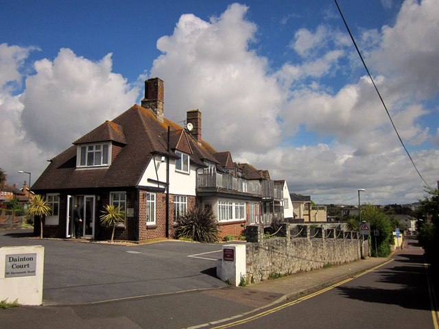
Image: © Derek Harper Taken: 12 May 2014
Flats now occupy this building in the angle between Dartmouth Road and Cliff Park Road (right), which descends to Goodrington Sands South.
Images are licensed for reuse under creativecommons.org/licenses/by-sa/2.0
Image Location
Latitude
50.419384
Longitude
-3.561414