View along Sandpit Lane
Introduction
The photograph on this page of View along Sandpit Lane by Evelyn Simak as part of the Geograph project.
The Geograph project started in 2005 with the aim of publishing, organising and preserving representative images for every square kilometre of Great Britain, Ireland and the Isle of Man.

There are currently over 7.5m images from over 14,400 individuals and you can help contribute to the project by visiting https://www.geograph.org.uk
View along Sandpit Lane
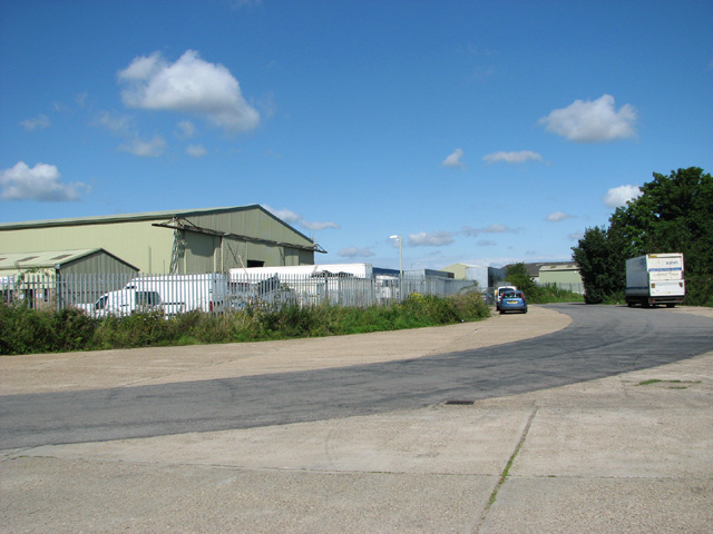
Image: © Evelyn Simak Taken: 13 Aug 2014
One of two T2 hangars dating from the time when RAF Beccles was an active airfield during WW2 can be seen in the background. The building has however since been re-clad and converted for industrial use. This view was taken from Sandpit Lane which here runs along a section of the old perimeter track.
Images are licensed for reuse under creativecommons.org/licenses/by-sa/2.0
Image Location
Latitude
52.439178
Longitude
1.599277