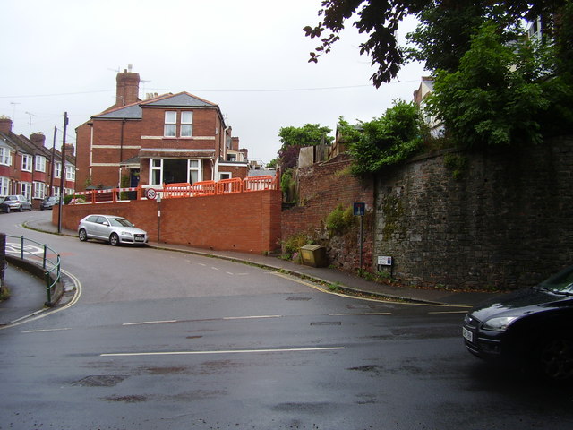
Cedars Road
Introduction
The photograph on this page of Cedars Road by Anthony Vosper as part of the Geograph project.
The Geograph project started in 2005 with the aim of publishing, organising and preserving representative images for every square kilometre of Great Britain, Ireland and the Isle of Man.
There are currently over 7.5m images from over 14,400 individuals and you can help contribute to the project by visiting https://www.geograph.org.uk

Image: © Anthony Vosper Taken: 5 Aug 2014
The Victorian houses of Cedars Road are back to back with Barnardo Road. The service alley way can just be seen. The retaining wall surrounds the rear gardens of houses in Barnardo Road, and dates from the time when Mount Radford House dominated the area. The wall's repair has now been finished. See Image

