Thornton Heath Pond
Introduction
The photograph on this page of Thornton Heath Pond by Bill Boaden as part of the Geograph project.
The Geograph project started in 2005 with the aim of publishing, organising and preserving representative images for every square kilometre of Great Britain, Ireland and the Isle of Man.

There are currently over 7.5m images from over 14,400 individuals and you can help contribute to the project by visiting https://www.geograph.org.uk
Thornton Heath Pond
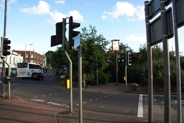
Image: © Bill Boaden Taken: 2 Aug 2014
The pub sign for the Wheatsheaf suggests the pub may have stood there before the centre of the mini gyratory system became a public garden.
Images are licensed for reuse under creativecommons.org/licenses/by-sa/2.0
Image Location
Latitude
51.394063
Longitude
-0.114732