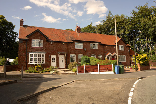
On Tithebarn Road
Introduction
The photograph on this page of On Tithebarn Road by Anthony O'Neil as part of the Geograph project.
The Geograph project started in 2005 with the aim of publishing, organising and preserving representative images for every square kilometre of Great Britain, Ireland and the Isle of Man.
There are currently over 7.5m images from over 14,400 individuals and you can help contribute to the project by visiting https://www.geograph.org.uk

Image: © Anthony O'Neil Taken: 4 Aug 2014
The approximate location of the 18th century Tithe Barn, from which both the road and the village (Hale Barns) takes its name. The old structure - which was demolished generations ago - was very substantial (18 yards long and 18 feet wide) - so it could store that portion of produce (one tenth) which local farmers paid to the parish: a practice widespread across Europe at the time.

