Nidderdale Way below High Kettle Spring
Introduction
The photograph on this page of Nidderdale Way below High Kettle Spring by Derek Harper as part of the Geograph project.
The Geograph project started in 2005 with the aim of publishing, organising and preserving representative images for every square kilometre of Great Britain, Ireland and the Isle of Man.

There are currently over 7.5m images from over 14,400 individuals and you can help contribute to the project by visiting https://www.geograph.org.uk
Nidderdale Way below High Kettle Spring
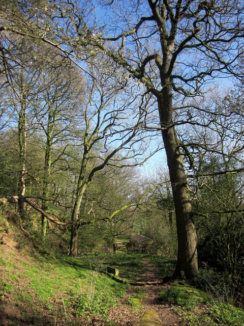
Image: © Derek Harper Taken: 18 Apr 2014
Bridleway 15 13/19/2 drops down a hillside through Kettle Spring Wood.
Images are licensed for reuse under creativecommons.org/licenses/by-sa/2.0
Image Location


Leaflet Map data © OpenStreetMap
Latitude
54.056767
Longitude
-1.59072