Flooding in the brookstray
Introduction
The photograph on this page of Flooding in the brookstray by E Gammie as part of the Geograph project.
The Geograph project started in 2005 with the aim of publishing, organising and preserving representative images for every square kilometre of Great Britain, Ireland and the Isle of Man.

There are currently over 7.5m images from over 14,400 individuals and you can help contribute to the project by visiting https://www.geograph.org.uk
Flooding in the brookstray
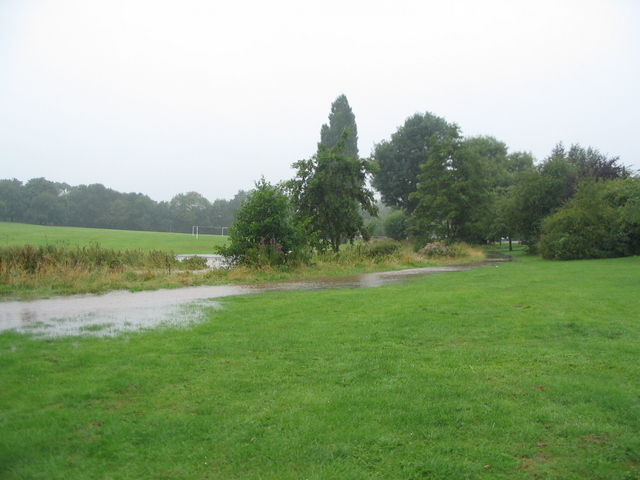
Image: © E Gammie Taken: 10 Aug 2014
The taller vegetation marks the normal line of the banks of the brook, which had overflowed after a night and morning of persistent rain. The photo was taken during a lighter spell of rain!
Images are licensed for reuse under creativecommons.org/licenses/by-sa/2.0
Image Location


Leaflet Map data © OpenStreetMap
Latitude
52.411955
Longitude
-1.558177